
A living sensor, an AI model, and nine days of warning
EcoSense AI is a fusion architecture. Each layer contributes signal the others cannot see, and the model turns that combination into an operational forecast.
Layer 01
Biofilm Intelligence
Biofilms are microbial communities that colonise submerged surfaces and reorganise within hours of a nutrient shift. Where bulk water chemistry lags, the biofilm has already responded. PROTLAB GPL characterises that response and converts it into a quantitative, reproducible early signal.

Layer 02
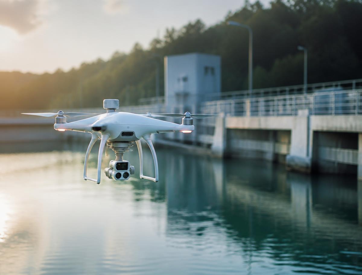
Drone Sensing
Autonomous multispectral flights map the entire water body, not just a sampling point. Surface reflectance, thermal gradients and spatial bloom precursors are captured at a cadence manual sampling cannot approach.
Layer 03
Environmental Sensors
In-situ probes stream temperature, dissolved oxygen, turbidity, pH, conductivity and nutrient proxies continuously, giving the model the hydrological context behind every biological signal.
Layer 04
AI Analysis
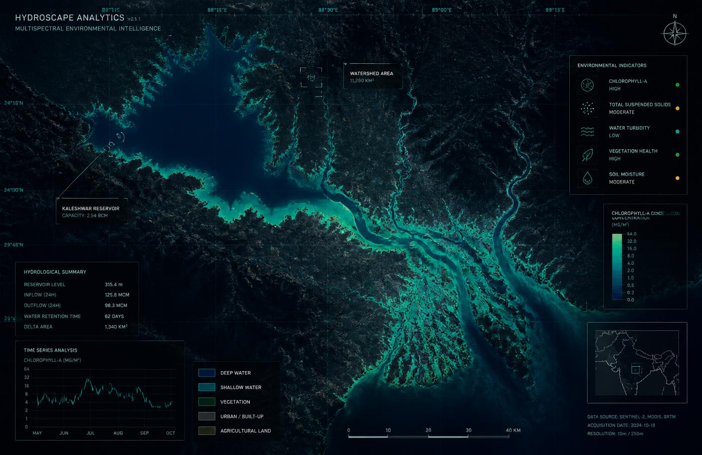
Proprietary models fuse biological, spatial and physicochemical streams, learning the multi-signal signature that precedes eutrophication in each specific water body.
Layer 05
Risk Prediction
Output is not a raw number but a calibrated probability of bloom onset with an explicit lead time — typically up to nine days — and a confidence band operators can act on.
Layer 06
Decision Support
Alerts arrive with recommended interventions: circulation adjustment, preventive dosing, abstraction rerouting or regulator notification, each traceable to the evidence behind it.
Designed to be deployed, not demonstrated
Every component is field-serviceable, remotely calibrated and built for continuous operation on real infrastructure.
Edge acquisition
Sensor and drone payloads stream to the platform with local buffering.
Model layer
Site-adaptive models retrained on accumulating local history.
Delivery layer
Dashboards, alerts and API access for existing SCADA and GIS systems.